Tradle is a geography and economics guessing game where you identify a mystery country based on its export profile. Each day presents a treemap visualisation showing the relative sizes of a country's major export categories, colour-coded by industry. Your task is to deduce which nation produces this specific combination of exports, using your knowledge of global trade, natural resources, and industrial specialisation to narrow down the possibilities.
The treemap visualisation provides rich information for deduction. Large blocks of petroleum exports suggest Middle Eastern or OPEC nations, while significant electronics sectors point toward East Asian manufacturing powers. Agricultural dominance might indicate developing nations with fertile land, and diversified industrial exports suggest advanced economies. Reading the export composition tells a story about each nation's geography, resources, and economic development.
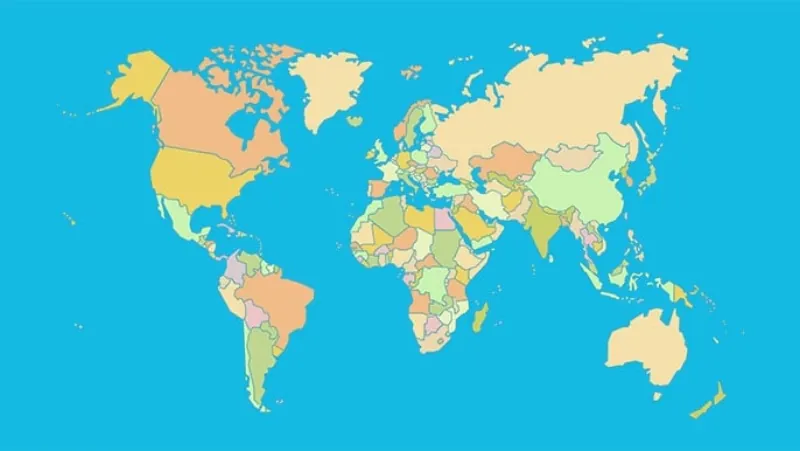
Each incorrect guess provides geographic feedback showing how far and in which direction the target country lies. This distance and bearing information, combined with the export data, creates a two-pronged deduction system. You narrow options simultaneously through economic analysis and geographic triangulation, making each guess valuable even when incorrect.
Playing Tradle online is a uniquely educational daily puzzle that teaches global economics through gameplay. Regular players develop an impressive understanding of which countries produce what, how geography shapes economic activity, and how trade flows connect the world. The puzzle format makes this complex subject matter accessible and genuinely enjoyable to learn about.
How to Play Tradle Online
Examine the treemap visualisation carefully before making your first guess. Note the dominant export categories, their relative sizes, and the specific products within each category. A country dominated by crude petroleum exports looks very different from one dominated by manufactured goods or agricultural products. Let the export profile guide your initial guess.
Type a country name and submit your guess. After each attempt, the game shows the distance and direction from your guess to the target country, along with a proximity percentage. Use this geographic feedback alongside the export data to triangulate the target. A guess that is close geographically but wrong means the answer is likely a neighbouring country with a similar economic profile.
Learn to recognise distinctive export profiles that uniquely identify certain countries. Some nations have such distinctive trade signatures that experienced players can identify them immediately. Major oil exporters, rare mineral producers, and nations with highly specialised industries each create unmistakable treemap patterns that serve as instant identification for knowledgeable players.
Use the colour coding to distinguish between export categories quickly. Manufacturing, agriculture, minerals, and services each have distinct colours in the treemap. The relative proportions of these colour blocks give you an immediate overview of the country's economic structure before you even read the specific product labels. This visual pattern recognition speeds up identification significantly with practice.